Location
Coastal-side, connected, established.
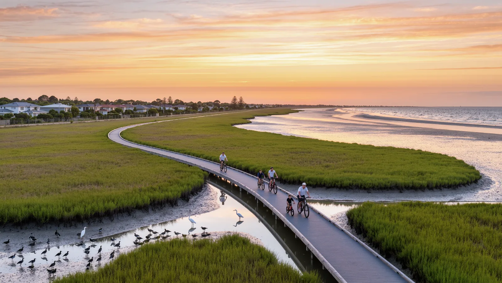
Point Cook West is a coastal-side pocket of the City of Wyndham, bounded by the Point Cook Rd corridor, Sneydes Rd corridor. 25 km south-west of Melbourne CBD.
Indicative — not to scale
At-a-glance distances
- Melbourne CBD25 km
- Melbourne Airport24 km
- Williams Landing Station (Werribee line)nearest station
- Princes Freeway (M1)arterial access
- Point Cook Town Centre, Sanctuary Lakes SC, Williams Landingexisting retail
On the map — The real location.
Marker indicative — see the official precinct plan for exact boundaries. Map data © OpenStreetMap contributors.