
Future Plans · VPA PSP 39A
An approved plan for ~2,000 new homes.
The Wyndham PSP 39A Precinct Structure Plan sets the framework for Point Cook West — dwelling capacity, land uses, movement network and the open-space spine.
~2,000 homes
Approved dwelling capacity across the precinct.
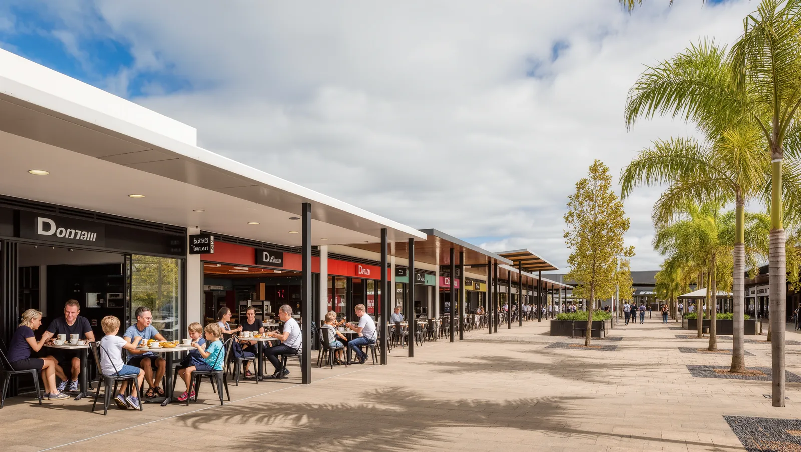
Local town centre
Retail, services and community anchor.
Schools
Government and non-government school sites reserved.
Conservation & open space
Green-spine network linking parks, wetlands and existing coastal reserves.
Growing community
Extending Point Cook — an established suburb of 66,781 residents.
Movement network
Upgraded arterials, local streets and active-transport links.
Indicative delivery timeline
- Stage 1Enabling worksServicing, roads, drainage.
- Stage 2First homesInitial land releases and civil delivery.
- Stage 3Town centre & schoolsCommunity anchors come online.
- Stage 4Maturing communityParks, laneways and infill complete.
The official plan
Read the plan straight from the source.
Gazetted 29 November 2012 (Amendment C163, Wyndham).
Download the PSP (PDF) — hosted by the VPA
View the VPA project page →Point Cook West PSP — October 2012 (Amended September 2013)
PSP documents are published by the Victorian Planning Authority. HALP links to the official source and does not host or alter them.
Source: Victorian Planning Authority — Point Cook West PSP (PSP 39A). Confirm final figures against the current gazetted plan.